 With the end of the year approaching, it’s a good time to take stock of some achievements reached over the last year. One achievement for Aon eSolutions was the deployment of our Intelligent Mapping application. I have written previously in this blog on our Intelligent Mapping application (click my name, above, for links to those posts) and the benefits it might have for risk managers using Aon RiskConsole risk management software. At the beginning of the year, these benefits existed only in the theoretical realm, since the application had not yet been deployed to any clients.
Now with almost a year gone by and with the adoption of the application by a number of our clients, we have some experience under our belt on what the actual benefits of the application are. With this in mind, I thought I would close out the year with a recap of some of these benefits. Please read below to find out how six of your peers have incorporated mapping technology into their work as risk managers.
- One large company with operations at thousands of sites worldwide has used the Intelligent
 Mapping application to reassess and revise all their terrorism insurance coverage. Only by looking at their data on a map did they realize that they were missing many of their properties that should be included under their terrorism coverage.
- BOTTOM-LINE RESULT: By using our location-analytics tool to plot out their properties in relation to known terrorist events, they have discovered they have many smaller locations that fell under their radar and were not included in their terrorism policy.
- A company with facilities spread across an extremely large geographic footprint has used the application to track the precise, actual locations of security incidents at their facilities. These events may include trespassing, theft or other criminal activity. By plotting out the exact location of incidents in relation to features of their property, they are able to see trends that indicate certain areas of their property may be more vulnerable than others to these types of events.
- BOTTOM-LINE RESULT: By using mapping technology, the company is able to take proactive measures to reduce their risk from these events.
- Another large company that relies heavily on subcontractors is concerned about the exposure they have from supply-chain disruptions with their subcontractors. Prior to using our mapping application, they were never able to get a clear picture of where their subcontractors have active jobs. Now, with our mapping application, since it allows for mapping of any data stored in the system, they have produced a report with map that displays for each subcontract what projects the subcontractor is currently engaged on.
- BOTTOM-LINE RESULT: Using location-analytics tools, the new map-based report provides a clear picture to them of the dispersion of activity by subcontractors and the risk to subcontractors from catastrophic events such as fires, floods or tropical storms.
- A company that operates assisted-living facilities is concerned about evacuation of their facilities in the event of known events such as fires, floods or tropical storms. They have several locations that are near large wildfire events that occurred in the last year. They were considering evacuating those facilities to protect against potential loss of life in the fires. However, by using our application they were able to determine the precise location of the fires and the direction in which the fires were heading in relation to their properties. They determined that they were not at risk for damage or loss of life from these fires.
- BOTTOM-LINE RESULT: With the aid of mapping technology, they have saved considerable money that they would have expended in evacuating their residents. The company also spared its residents the stress and inconvenience of an evacuation and relocation, as well as the potential for injury that could arise from a fast-paced departure.
- A travel company that operates tours in many parts of the world is concerned about the frequency of liability claims in different parts of the globe so they can accurately assess the risks and costs of operating tours in potentially dangerous areas. Since our application allows for plotting of any point, including claim locations and airport locations, they have used our mapping application to plot out liability occurrences by destination airport across the globe.
- BOTTOM-LINE RESULT: Our mapping tool was able to provide the type of analysis the company needed and then also display it in a visually compelling manner with color-coded images depicting the frequency and severity of claims.
- Another large company with extensive property assets has used the application for a slightly more mundane but still equally valuable activity. By plotting out their properties on a map and distributing these maps to their operating units, they are getting much better compliance from their operating units in reporting the status of the properties. Their operating units just don’t notice as many gaps or issues in the data until the data was presented to them on a map. By using the Intelligent Mapping tool, the company has discovered it has many properties included in the portfolio that they submit for insurance that are no longer active properties; they have also found that there are missing properties from their database that they are now adding in on their insurance policies now that they are informed of these properties.
- BOTTOM-LINE RESULT: Presenting the data visually to the operating units on a geographic map has greatly aided the organization in improving the quality of their data and collecting data from their operating units.
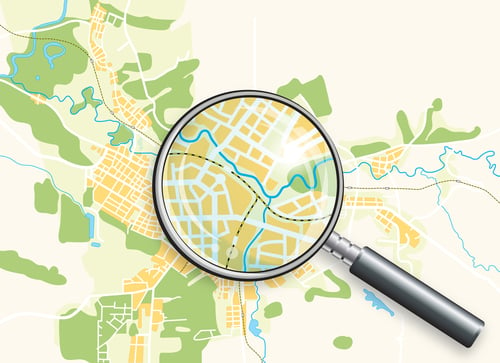
These examples highlight the importance of location for many of the decisions and analyses that risk managers perform. Location analytics tools such as the eSolutions Intelligent Mapping application can be of invaluable assistance to risk managers in better understanding issues they face that involve the location of their assets and claims.
Mark LeVeque is a Product Consultant with Aon eSolutions, based in the Atlanta office. Contact Mark at mark.leveque@aon.com